Toronto Monitoring Hub
Toronto, like many cities across Canada, has a combined sewer system. Combined sewers are designed to collect stormwater runoff and wastewater in the same pipe. All that combined water usually flows to a wastewater plant for treatment.
But not all the wastewater in the system makes it to a treatment plant. Heavy rainfall, snowmelt, power failures, cross-connections and other problems overwhelm the system. When that happens, the overflow must go somewhere. In Toronto, that somewhere is ultimately Lake Ontario.
Untreated sewage spills into the lake from combined sewer overflows (CSOs). They are the largest source of water pollution in Toronto.
The usual culprit is rain. Whenever it rains in Toronto, sewage flows into Lake Ontario. Every time. In 2015 alone, CSOs spilled 3.7-million cubic metres of raw sewage into Toronto waters.
The Toronto Monitoring Hub operates thanks to citizen scientists who volunteer their time to help collect and process samples. It was the first and is now one of five monitoring hubs created by Swim Drink Fish.
Beginning in 2018, this project has been undertaken with financial support of the Government of Canada through the federal Department of Environment and Climate Change.
Ce projet a été realisé avec l’appui financier du gouvernement du Canada agissant par l’entremise du ministère fédéral de l’Environnement et du Changement climatique.
Click Here to Volunteer with the Monitoring Hub
Latest Conditions from Swim Guide
Quick Facts
There are 84 total outfalls that could potentially contain combined sewer overflows.
The combined sewer system runs as far north as St. Clair and Warden, east to Scarborough Crescent Park, south to the waterfront, and west to where the Humber river meets Lawrence Ave. Map of total area can be found on page 9 of this City of Toronto document.
CSO spills occur throughout the city at least a few times per week between April and October, and as many as multiple CSO events per day during heavy rainfall. November-March rarely see any combined sewer events, if at all.
Toronto has 138 km of shoreline, including the islands. The 11 official beaches are the only places routinely tested for sewage pollution.
Ongoing stormwater and sewage pollution are harmful to human and environmental health.
Toronto Sample Results
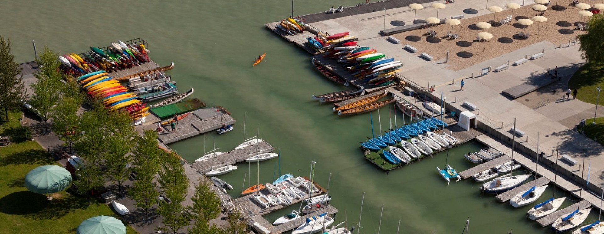
The City of Toronto monitors 11 beaches along the waterfront. The rest of the shoreline is not monitored, but thousands of people use these waters to boat, paddle, surf, and fish.
To learn more about water quality in our harbour, Lake Ontario Waterkeeper began collecting water samples and testing for E. coli in 2016. E. coli is an indicator for sewage—the more E. coli present in a sample, the greater the risk to public health and the environment.
2021 was the sixth year of sampling at the Inner Harbour sites. Staff along with a group of trained citizen scientists sample the water every Tuesday and Thursday. We sample three main locations in the Inner Harbour: Marina 4, Rees St. Slip, and Bathurst Quay. Each of these locations has a CSO pipe flowing into it. In 2019, Ontario Place West Island Beach was also added as a site- which is one of the few accessible swimming locations in Toronto’s West End.
In 2018 two teams of dedicated, trained citizen scientists started monitoring Humber Bay West Park in Etobicoke, and Algonquin Bridge and Snake Island on Wards Island. In 2021, First Street Beach was added as a sampling site. We have added these locations to Swim Guide, and we update them weekly.
In 2022, Lake Ontario Waterkeeper began year-round water quality sampling at Ontario Place ahead of new developments at the site. Ontario Place is home to a large number of swimmers year round, and we want to ensure people are able to stay informed about water quality regardless of the season.
Read the 2018 Toronto Harbour Monitoring Report
Read the 2019 Toronto Harbour Monitoring Report
Read the 2021 Toronto Harbour Monitoring Report
You can also download our sample results here.
2022 Water Sampling Data
Data below for samples taken Wednesday November 23rd, 2022
Ontario Place West Island Beach -
| Sampling Location | E.coli count MPN/100ml | Geometric Mean for all sites (E. coli) |
|---|---|---|
| A | 19.7 | 14.8 | B | 18.5 | B-DUP | 12.1 | C | 24.6 | D | 18.9 | E | 6.3 |
Marina Four - Data for this site is from Oct. 25, 2022
| Sampling Location | E.coli count MPN/100ml | Geometric Mean for all sites (E. coli) |
|---|---|---|
| A | 29.2 | 161.5 |
| B | 8.5 | C | 248.1 |
| D | 980.4 | |
| E | 1553.1 | |
| F | 189.2 |
Rees Street Slip - Data for this site is from Oct. 13, 2022
| Sampling Location | E.coli count MPN/100ml | Geometric Mean for all sites (E. coli) |
|---|---|---|
| A | 42.6 | 22.5 | B | 37.9 |
| C | 12.0 | D | 12.2 | E | 24.4 | E-DUP | 25.6 |
Bathurst Quay - Data for this site is from Oct. 25, 2022
| Sampling Location | E.coli count MPN/100ml | Geometric Mean for all sites (E. coli) |
|---|---|---|
| A | 30.5 | 63.8 | B | 23.1 | C | 195.6 |
| D | 118.7 | |
| E | 93.2 | F | 44.1 |
Humber Bay Park West - Data for this site is from Sept. 8th, 2022
| Sampling Location | E.coli count MPN/100ml | Geometric Mean for all sites (E. coli) |
|---|---|---|
| A | 21.1 | 16.1 | B | 15.8 | B-DUP | 16.0 |
| C | 8.6 | |
| D | 23.5 | |
| E | 16.0 |